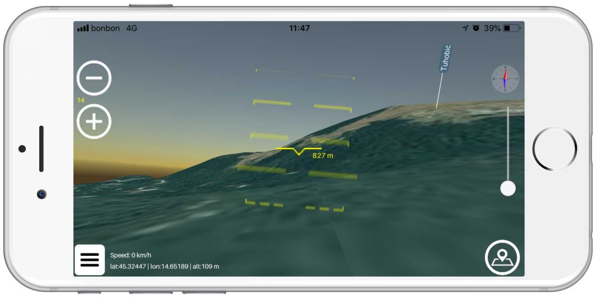
Enable landscape viewing on your mobile device
Turn your real environment from invisible to visible.
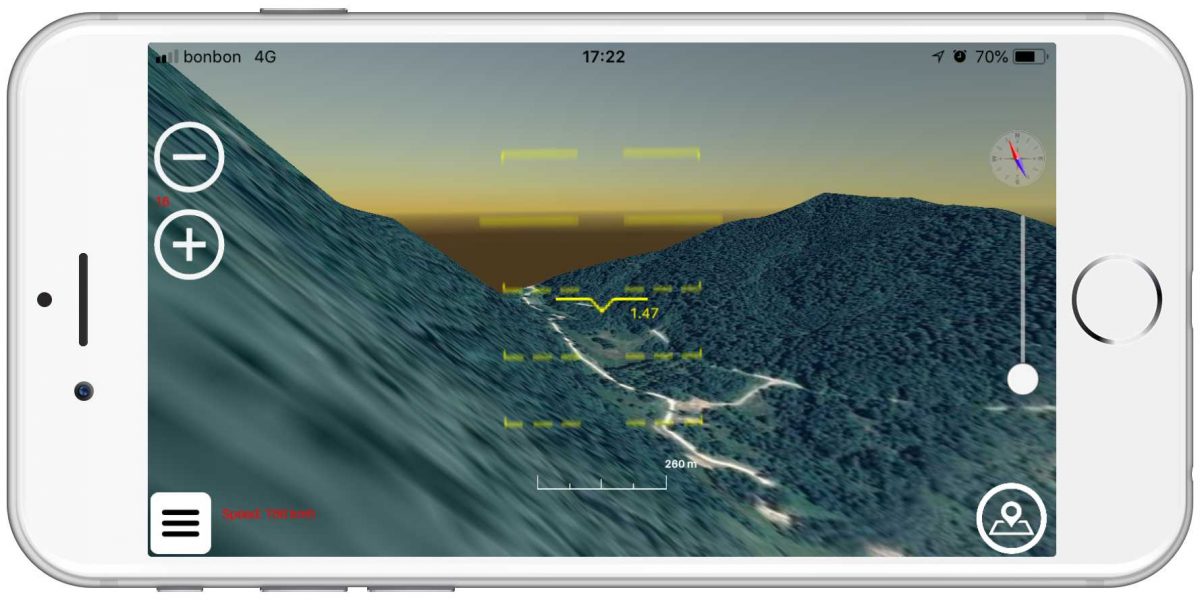
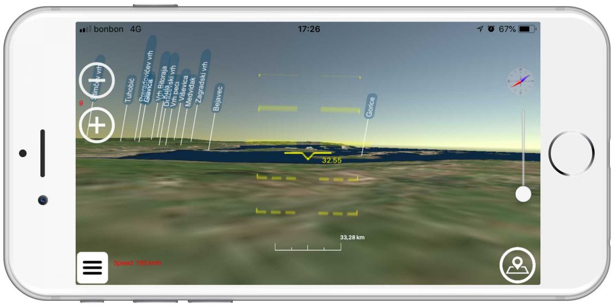
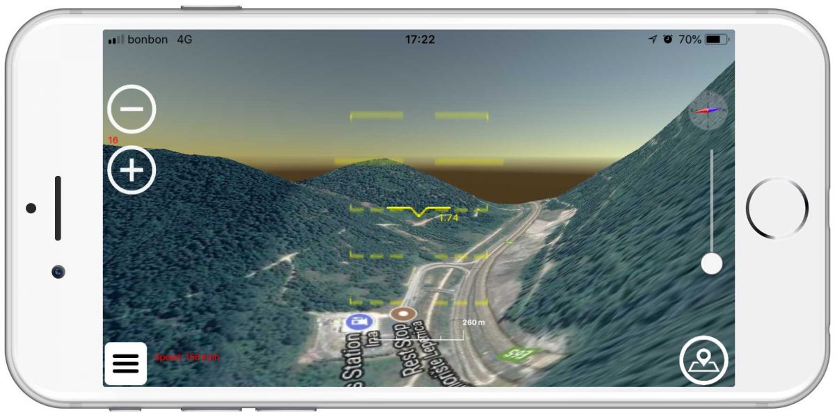
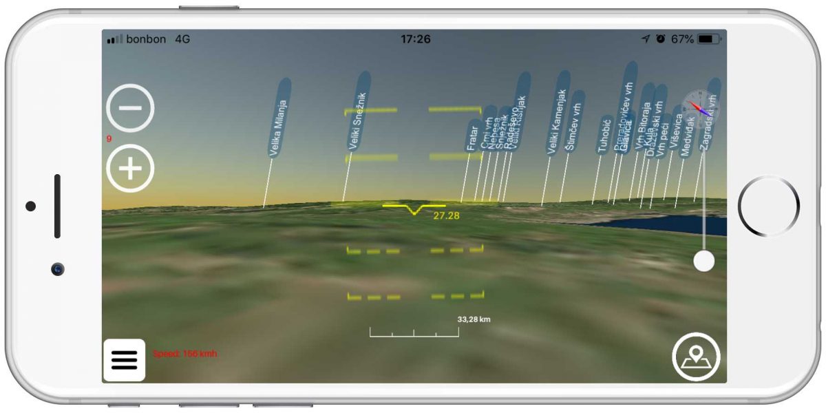
the purpose of this application is to view the natural environment in adverse weather conditions, fog, at night or in the presence of obstacles. The idea of the application is to enable real-time artificial display of the relief of the Earth’s surface in instrument flight conditions (IFR) with the use of GPS sensors and offline data of elevation points.
If 4G or Wi-Fi is enabled in the field, the application will download the actual elevation data from the server and save it to the device for future use. If you are preparing to go to an area where there is no internet connection or to fly by plane, it is possible to download data for a specific area in advance so that the relief can be displayed.
- In addition to elevation data, the app also contains up-to-date information on trails, hiking trails, natural landmarks, buildings and institutions, mountain peaks, and other data in your environment that it downloads from OSM servers and displays along with detailed information.
Some of the features:
- very low battery consumption
- work in offline mode (without internet)
- walking and flying mode
- measuring distance to some point on terrain
- detailed weather forecast
- GPS altimeter
- GPS speedometer
- GPS coordinates
- compass and heading
- display of artificial horizon (flying mode)
- natural peaks with elevation and name
- 2D and 3D view
- VR mode (use cardboards VR glasses)

